office (+1 713) 375-1754
http://www.seisquest.com
email info@seisquest.com
Workflow Tools
SeisQuest have a range of tools which are integrated within the overall SeisQuest DM workflow:
SeisQuest Explorer
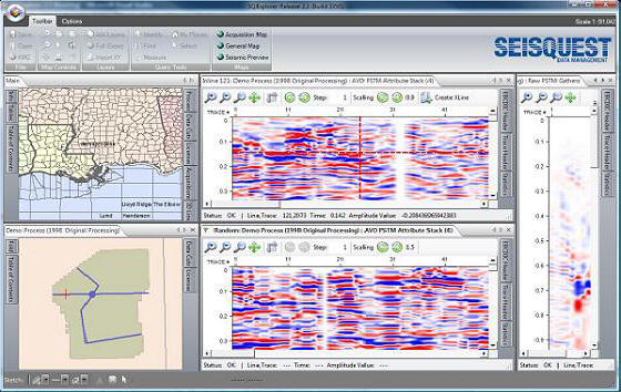
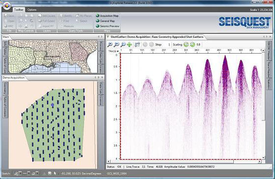
SeisQuest Explorer is our flagship front-end to SeisQuest's seismic data management workflow. SQExplorer allows users to view all available seismic datasets and retrieve online or archived SEG-Y data - either fully, or by interactively sub-setting the section or volumes.

SQExplorer can access and deliver pre-stack and stacked data, and because it is the front-end to SeisQuest's DM Workflow, all data is of known and documented quality.

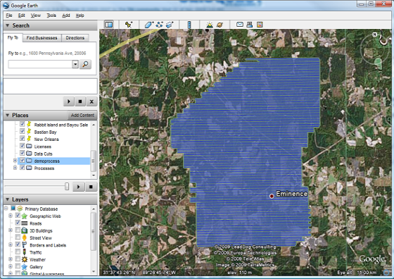
SeisQuest Explorer has full map integration with Google Earth™.
SeisQuest Analyzer - SEG-Y Analyzer Studio
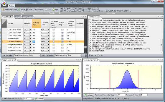
SQAnalyzer allows rapid visualization of raw SEG-Y data, and provides access to the EBCDIC, Binary and Trace Headers for analysis. SQAnalyzer allows users to view graphs of trace header values, as well as the actual trace data values. Users can alter the trace header definitions, for use within the SeisQuest workflow, or they can explore minimum and maximum data distribution for scale determination.
Other (Linux) workflow products,
- SQELiveLines - Creates shape-files of 3D survey data
- ProjectScan - rapidly scans SeisWorks™ projects and adds 2D and 3D data into the SeisQuest's workflow
- SEGYScan - scans and QCs SEG-Y data
- SQEPolygon - Creates polygonal shape-files of survey live-data outline
- SQE2D - Creates shape-files of 2D seismic data
- SQEMapMaker - Creates a MXD map of survey outlines and extents
- SQEJPG - Creates image map of shapefiles
- SQEAcquisition - Creates shape-file polygons of acquisition data sets
- SQERaster - Creates fold number image files
SeisQuest Workflow Tools
- SQExplorer GIS
- SQAnalyzer SEG-Y Studio
- SEGYScan
- SQELiveLines
- ProjectScan
- SQEPolygon
- SQEJPG
- SQEMapMaker
- SQERaster
- SQE2D
- SQEAcquisition
